
Marks Warren


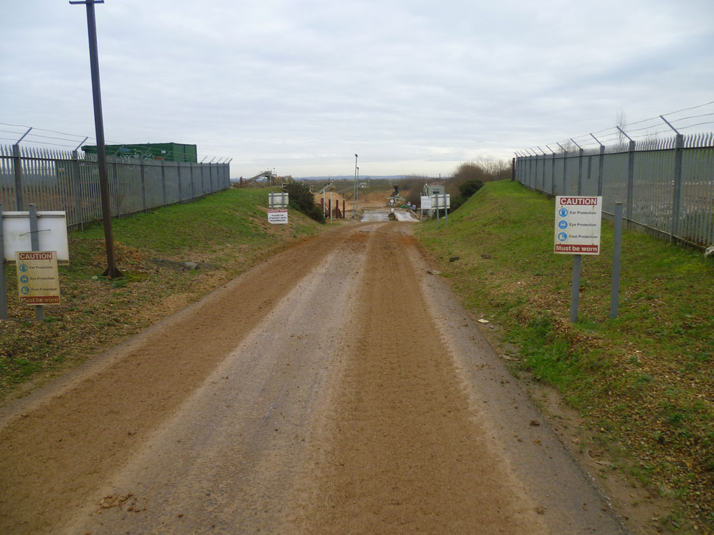
The site is located approximately 3km to west of Romford in Essex, overlooking the River Rom valley, with the A1112 to the west and the A12 at its southern boundary. The surrounding land is a mixture of agricultural and urban, with the nearest residential properties lying adjacent to the western site boundary. The site is not within the 100-year River Rom flood extent, but is approximately 500m from its western extent.
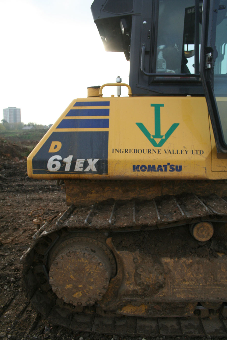
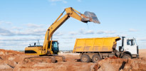
During the Second World War, Marks Warren was used as a strategic military defence site. In more recent years, it was operated as a sand and gravel quarry by Brett.
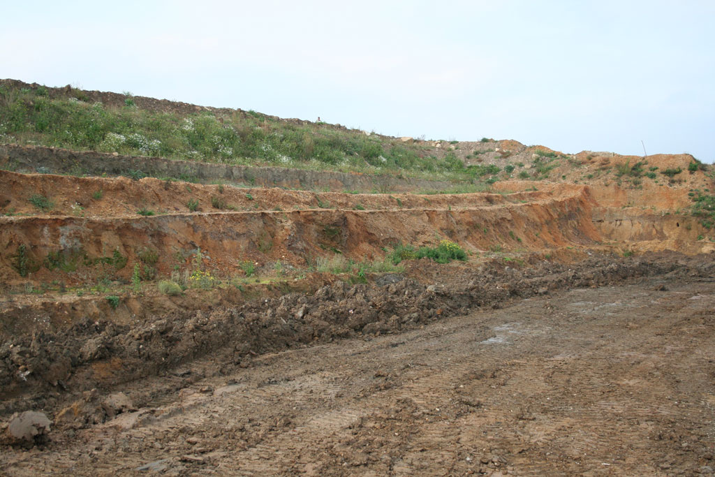
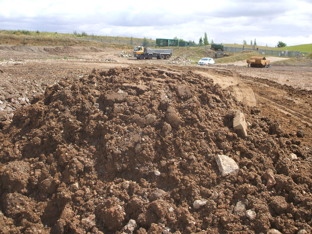
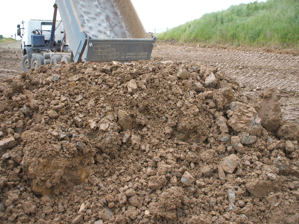
The remediation scheme at Marks Warren involves the restoration of the former quarry to ground levels and then returning it back to agricultural use.
The project
This is a 10 phase project which initially started in 2006 with the importation of suitable clay materials to provide a clay liner. Brett finished extracting material from the site in 2011, and IVL have been responsible for the operational site since the beginning of the project in 2006.
Skills and resources
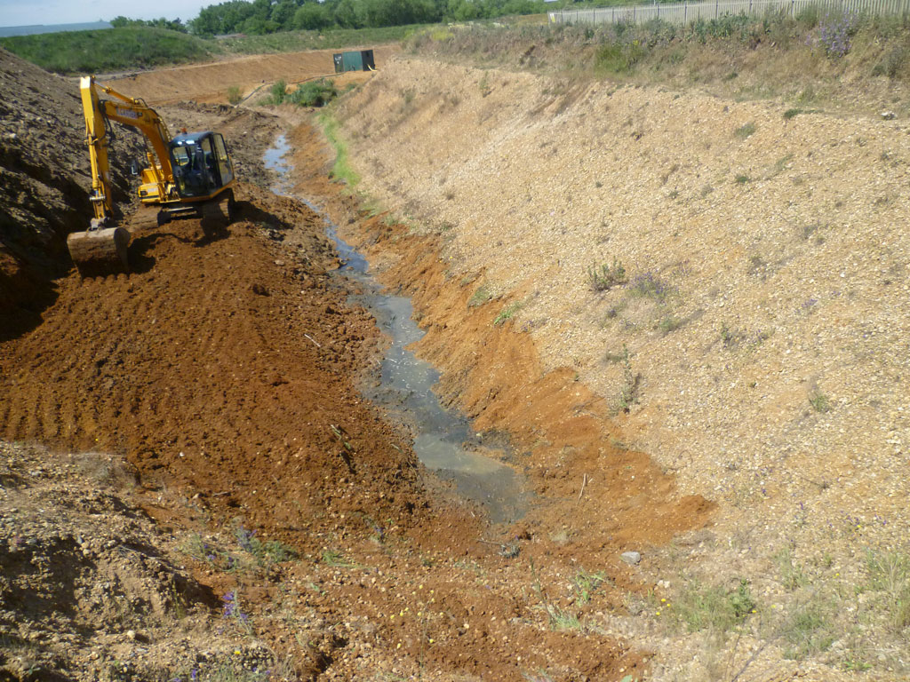
Prior to the importation of inert reclamation materials, other materials were used to ensure compliance with the engineering conditions. Basal and sidewall engineering is required in each phase, prior to placement of any imported materials.
Licences and quality assurance
This site has a permit for landfill with inert materials only, with a limited range of such materials specified. IVL have held the permit to the site since 2007. Prior to earthworks being undertaken, each phase must have Construction Quality Assurance (CQA).


Marks Warren
Marks Warren
Whalebone Lane North
Chadwell Heath
Romford
RM6 6RB
Open: 07.00 - 16.30
Find a site near you
Download your aggregate CE Certificate
Ingrebourne Valley products have been tested and conform to European Standards, ensuring that they are safe to use and fit for purpose.
Services
At Ingrebourne Valley we provide a complete portfolio of services for land regeneration, from site surveys and aggregate extraction to decontamination, earthworks and reprofiling.